

 21 hours ago
13
PROTECT YOUR DNA WITH QUANTUM TECHNOLOGY
Orgo-Life the new way to the future Advertising by AdpathwayWestern Washington's unusually dry autumn is ending fast. A stream of Pacific moisture is pushing into the Pacific Northwest this weekend, and the National Weather Service in Seattle has Wind Advisories in effect Friday, Nov. 6, for the northern coast, the Grays Harbor County coast and the lowlands north of Everett, with south winds of 20 to 30 miles per hour and gusts up to 50 miles per hour.
For most households, the immediate concern is wind and wet roads rather than river flooding. Gusts of that strength can bring down tree limbs already stressed by a dry season, knock out power, and make driving difficult for high-profile vehicles. Commuters heading over the Cascades face a separate problem as snow returns to the higher passes.
The shift matters because the region is coming off one of its driest Octobers on record, and soils, gutters and storm drains have not been tested by steady rain in weeks.
A Rapid Turn From Dry Skies to Steady Rain
The FOX Forecast Center said an atmospheric river is moving into the region, driven by a strong low-pressure system that developed in the Gulf of Alaska. It expects wet weather from late Thursday through Sunday, with additional storms possible next week.
Rain totals will vary widely. Seattle, Tacoma and Bellingham are forecast to receive about 1 to 2 inches through Sunday, with locally higher amounts possible, while the Olympic Mountains could see up to 5 inches. The higher Cascades may pick up as much as 6 inches of snow.
The contrast with last month is striking. FOX Weather reported that Seattle recorded its seventh-driest October on record, with 1.2 inches of precipitation. In late October, KIRO Newsradio meteorologist Ted Buehner noted that the month was tracking among the driest in more than 130 years of Seattle records.
Alerts in Effect and What Forecasters Expect Next
The Wind Advisories issued by the NWS Seattle office run from 4 a.m. to 4 p.m. PST Friday for San Juan and Island counties and the lowlands of western Whatcom, western Skagit and northwestern Snohomish counties. The Northern Washington Coast advisory runs until 1 p.m. PST Friday, and the Grays Harbor County Coast advisory runs from 7 a.m. to 4 p.m. PST Friday.
Offshore, a Gale Warning covers coastal waters until 4 p.m. PST Friday, and a Storm Watch is posted for the outer coastal waters from Saturday morning through Sunday morning, when seas of 23 to 28 feet are possible.
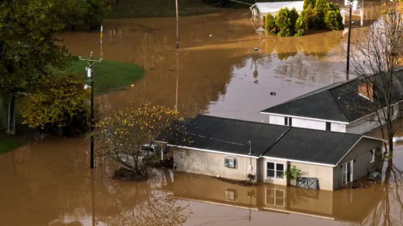
Snow levels are another moving piece. In its Area Forecast Discussion issued at 3:27 p.m. PST Wednesday, Nov. 4, the NWS said snow levels near 8,000 feet on Saturday should fall to 4,000 to 5,000 feet by late Sunday. That same discussion stated plainly, "River flooding is not expected through the next seven days."
Forecasters also flagged uncertainty for midweek, noting the potential for a longer-duration rain event. An earlier NWS discussion cautioned that saturated soils and higher river base flows could become a concern with later systems, which is why the second half of next week deserves close attention.
Why a Very Strong El Niño Does Not Cancel Northwest Storms
This storm arrives during a historic El Niño. The NOAA Climate Prediction Center said in its Oct. 8 update that a strong-to-very-strong El Niño is likely through January to March 2027, with Niño-3.4 sea surface temperatures running 2.1 degrees Celsius (3.8 degrees Fahrenheit) above average. Social media often calls this a "Super El Niño," but NOAA's official categories top out at "very strong."
NOAA's winter outlook, issued Oct. 15, favors warmer-than-average temperatures for the Pacific Northwest from December through February and places the wettest odds across the southern tier of the country. Ken Graham, director of NOAA's National Weather Service, said a very strong El Niño "tilts the odds toward stormier weather across the South."
That does not mean Seattle stays dry — far from it. Seasonal outlooks describe probabilities over three months, not individual storms, and an active November pattern can coexist with a milder, less snowy winter. Buehner has noted that El Niño winters rank last among ENSO phases for hazardous Northwest fall and winter weather, but last is not zero, and this weekend's wind and rain are a reminder of that.
Who Should Prepare and How
The greatest wind risk falls on residents of Whidbey and the San Juan Islands, the Skagit and Whatcom lowlands, and the outer coast, where advisory-level gusts are expected. Households that depend on electric medical equipment, people with large trees near their homes, and drivers of trucks, vans, and RVs should take the advisory most seriously.
Officials advise securing patio furniture, trash bins and holiday decorations, and charging phones and backup batteries before winds peak. After weeks of dry weather, leaf-clogged gutters and storm drains can cause localized ponding, so clearing the drain in front of a home is a quick, useful step.
Travelers crossing the Cascades should check Washington State Department of Transportation pass reports before leaving, since snow levels are forecast to drop by late Sunday. Boaters should stay in port, given the gale and storm alerts. Never drive through water covering a roadway, and treat every downed line as live and report it to your utility or 911.
Homeowners should also photograph property before storms for insurance records. Standard homeowners policies generally do not cover flood damage, so residents in low-lying areas may want to review coverage before the wetter heart of the season.
The Bottom Line
The dry spell is over — and Friday's wind is the most immediate hazard for the northern Puget Sound region and the coast. River flooding is not forecast through early next week, but forecasters are watching midweek for a longer rain event. Residents should follow NWS Seattle and their county emergency-management offices for updated alerts, as more advisories are likely as the pattern stays active.
What Readers Want to Know
What alerts are in effect for the Seattle area? Wind Advisories are in effect Friday, Nov. 6, for San Juan and Island counties and the western Whatcom, Skagit and northwestern Snohomish lowlands from 4 a.m. to 4 p.m. PST, the Northern Washington Coast until 1 p.m. PST, and the Grays Harbor County Coast from 7 a.m. to 4 p.m. PST.
How much rain will Seattle get? The FOX Forecast Center expects about 1 to 2 inches in Seattle, Tacoma, and Bellingham through Sunday, with up to 5 inches in the Olympic Mountains.
Is river flooding expected? Not at this time. The NWS Seattle discussion issued Nov. 4 said river flooding is not expected over the next seven days, though forecasters are watching for a longer rain event midweek.
Will there be snow in the mountain passes? Snow levels near 8,000 feet Saturday are forecast to drop to 4,000 to 5,000 feet by late Sunday, with up to 6 inches possible in the higher Cascades.
Does El Niño mean a dry winter for Seattle? Not necessarily. NOAA's outlook favors a warmer-than-average winter in the Northwest, but seasonal outlooks are probabilities and do not rule out individual storms.
What should I do before the wind arrives? Secure outdoor items, charge devices, clear storm drains, avoid parking under large trees, and report downed power lines to your utility or 911.
© 2026 NatureWorldNews.com All rights reserved. Do not reproduce without permission.











 English (US) ·
 French (CA) ·