

PROTECT YOUR DNA WITH QUANTUM TECHNOLOGY
Orgo-Life the new way to the future Advertising by Adpathway
Ha!l Thought it might get that C name!
Will update with info throughout the day.
So let's focus on 92L for now, til then

visible imagery shows circulation


Weak, but there.
In truth I thought it was a TS last night
....looping before I fell asleep.
Will discuss PTC One-C way below.
Staying with 92L that could become Dolly.

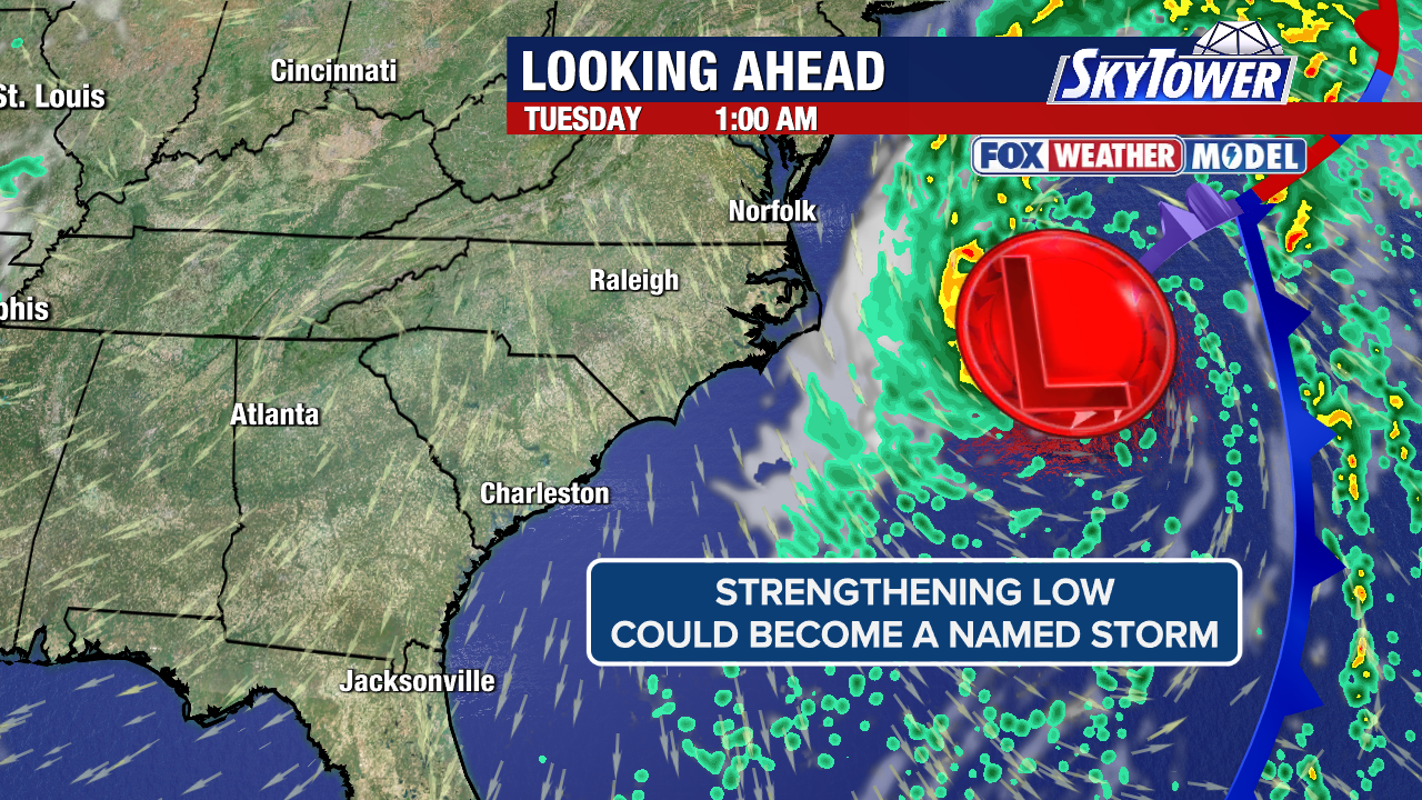
Starting with Mike today and typing while he's talking, as hearing Mike's voice puts me in a good playful mood. These are the players. I like this map, better than the NHC but when they upgrade it to TD (if they do) I'll definitely show "THE CONE" from NHC IF 92L gets an upgrade!
But I woke up to Invests and to be honest, that's a lot considering how deader than a doornail the Atlantic was expected to be by many.

I was curious, I mean what is a doornail?
Now you know, now we know.
Moving on back to tropics.
Always thought Cristobal would be the N ATL system.
Weather happens in real time, remember that.
Models are maybe, NHC is forever.
So staying with our Wave Train for now...
Anyway the focus here today is on 92L
Will 92L get an upgrade?

She's far out there... well "it" for now.
Big waves take longer to pull together.
That is a factor here.
Let's look at the wider view of our Wave Train.

I screenshot this because....
to show the actual pattern of this wave train.
So we have new wave in a bright red dress.
Then we have 92L lacking convection
Remnants of last wave near the Islands
Then we see convection N of Hispaniola.
Reason I am showing this...
..it's more likely 92L
follows this pattern.
Often in El Nino years waves battle negative conditions and the strong headwinds coming out of Carib creating shear and as they near the Islands they begin to fall apart. And the shear also in ways redirects them or parts of their convection to the North and they struggle. Sometimes........they struggle so much they lose their Mojo and start to fall apart ...........and then sometimes North of the Islands closer in to Bahamas or Florida they perk up and come back together sort of reborn, reformed and ready to go.
That is not a forecast, it's a reminder it has happened before and what has happened before tends to happen again when the conditions are similar. So keep it in mind this year.

Back to 92L and Mike's Artwork today.
While convection is a bit lacking.
What convection there is in all the right places.
And you can see it's "form" today.
Will the NHC blink???
Totally true on what he said and I've said it often, nothing like watching a system come together in real time. It's truly amazing to those of us who enjoy all parts of the process of tropical formation. Loving formation does not equate with making landfall and doing horrific damage. Most people who follow me and Mike and others online have been hit by a hurricane and once hit by a hurricane, you become a little paranoid and want as much info in advance that you can get. That probably applies to Mike and I as we have grown up with hurricanes as Florida kids and knowledge is power and it gives you a head's up to get your plan in place should a tropical system comes knocking at your door! You won't be standing there at the store looking at empty shelves with nothing left on them but canned oysters!
Something different from Windy.com
Let's look at "rain accumulation" modeling.

EURO above shows it getting into Carib.

GFS slower, less and getting in there a bit
(note it's top heavy tho)

Icon doesn't buy it.
Islands been deprived of rain this summer.
Icon shows it stronger...
..and further to the N above the Islands.

Where does 92L go?
Still has a long ways to go
This is the precipitable water vapor loop.
Moisture...rain...
So still wondering does 92L
(maybe Dolly) be the one
to go through the Islands
in 2026 El Nino
or will they continue to be deprived
of needed rain?
Will see sooner rather than later.
So stay tuned.
As for the new PTC headed towards Hawaii.
If it forms it'll be Lala
Lala Does Hawaii!!
(Pacific has such great names...)

Potential Tropical Cyclone One-C (formerly CP93),
First Cone below.

Hawaii currently.....in crosshairs.
In the Cone!
35 MPH now...
...forecast to be a Hurricane.

NHC busy today
Most my readers do not come from there.
And most here worried on the Atlantic Basin.
But in El Nino Years chances go UP for Hawaii
for impacts and landfall.
1992 they got Iniki
Direct landfall on Kauaʻi
Cat 4 - I believe.
Had friends there filming so yeah heard about it..
First Miami got hit with Andrew...
..then Hawaii with Iniki
In real time I had no cable...
...no TV til after Iniki had made landfall.
Knew it made landfall but we were busy in Miami
Post Hurricane Andrew.
In my mind the landfalls are always linked together.

Sometimes they do make landfall!
BUT......usually they Peter out close in..
...they get rain, heavy rains and wind.
but rarely do they get an actual hurricane.
They scoot by to the North ... squalls do damage
Time will tell.
I'll be here to tell it...
...in my online weather journal :)

Last note here is THE SOLAR ECLIPSE
(note it keeps it above Islands)
ps as for Cristobal and the Eclipse.
It will sail through a good amount of it!
Cristobal and the Solar Eclipse!
(sounds like a history novel...)

Updates on Cristobal and any other upgrades later
in real time so check back often.
Sweet Tropical Dreams,
BobbiStorm
Not a forecast...
...just love this song.













 English (US) ·
  French (CA) ·