

 10 hours ago
7
10 hours ago
7
PROTECT YOUR DNA WITH QUANTUM TECHNOLOGY
Orgo-Life the new way to the future Advertising by AdpathwayHurricane Nolo never made landfall on Hawaiʻi Island, but its slow crawl south of the island still did real damage. After the storm nearly stalled offshore from Friday into Saturday, its outer rain bands dropped more than 14 inches of rain on the island's highest elevations, The Weather Channel reported, flooding the main highway through the Kaʻū District and leaving several water systems under essential-use-only limits.
The worst local flooding hit communities that were already rebuilding. Hawaiʻi County Mayor Kimo Alameda reported significant flooding in Waiʻōhinu and Nāʻālehu in a 10 p.m. update Saturday, and Māmalahoa Highway (Route 11) flooded in multiple places between Pāhala and Waiʻōhinu before crews reopened it Sunday morning, according to Hawaiʻi Public Radio's live storm coverage. Both towns were heavily damaged by Hurricane Lala in August.
For Big Island households, the questions have shifted from sheltering to recovery. Customers in several water service areas were asked Sunday to limit water use until further notice, some neighborhoods lost power over the weekend, and the county wants damage reported now. The storm has moved away, but loose soil on steep slopes means the landslide risk did not end when the rain did.
Rain, Road Closures and Outages Across the Island
Speaking with HPR at the county's Civil Defense headquarters in Hilo on Saturday evening, Alameda said Kaʻū was seeing roughly 6 to 8 inches of rain at that point. "And you see how that amount can already be concerning. Please stay vigilant," he said.
Route 11 was fully closed in Waiʻōhinu, between mile markers 65 and 66, around 3:30 p.m. HST Saturday because of flooding and rocks on the roadway, according to the state Department of Transportation. Highway 250, the Kohala Mountain Road between Waimea and Hāwī, had been closed since Friday evening because of high winds, after Waimea recorded gusts of up to 60 miles per hour Friday night, and it remained closed Sunday. High-water vehicle teams conducted five rescue missions over the weekend, the Honolulu Star-Advertiser reported.
Hawaiian Electric reported more than 4,000 Hawaiʻi Island customers without power at 10:07 a.m. HST Sunday, with outages in Waimea, Honokaʻa, Kawaihae and Puakō in the north and between Ocean View and Nāʻālehu in the south.
Maui County saw some of the strongest winds. Gusts reached 80 mph Sunday morning, more than 12,000 Maui customers were without power as of 7 a.m. Sunday, and a brush fire near Olowalu Village had burned more than 100 acres and was 70% contained as of 8 a.m. Sunday, according to Maui County and Hawaiian Electric figures reported by HPR.
A Nearly Stationary Storm Over Steep, Soaked Ground
Time and terrain explain how a hurricane centered well offshore caused this much flooding. At 5 a.m. HST Saturday, the Central Pacific Hurricane Center placed Nolo about 145 miles south of South Point with 105 mph winds and described it as stationary, the Hawaii Tribune-Herald reported. Forecasters said the storm continued to meander south of the island, which kept its outer bands over the same southern and eastern slopes for hours.
The island's mountains amplified the rain. Moist air pushed up steep slopes tends to release heavier rainfall, and forecasters repeatedly warned of life-threatening flooding and mudslides in steep terrain. Much of that ground was still saturated after Lala, which dropped a widespread 20 to 30 inches in August, according to a Washington Post weather analysis.
The outcome could have been worse. Earlier forecasts called for up to 35 inches in places, but the hurricane center cut its rainfall outlook markedly as Nolo began turning west, the Post reported. "The sooner it turns, the better for us,"Darryl Oliveira, acting administrator of the Hawaiʻi County Civil Defense Agency, told the Star-Advertiser before the turn.
The Weather Channel has described Nolo as the strongest hurricane impact on the Big Island in 67 years, noting that NOAA's hurricane database shows only one other major hurricane, Dot in August 1959, tracking within 150 miles of the island. That is a media analysis, not an official designation. Hurricane center advisories show Nolo was a Category 2 storm during its closest approach and reached major-hurricane strength only after it moved west, and the Star-Advertiser's Monday coverage described the Big Island as largely spared.
Water Limits, Damage Reports and Aid for Households
On Sunday, the Hawaiʻi County Department of Water Supply asked customers in the Lālāmilo, Mauna Lani, Maunakea, Hāpuna and Kawaihae service areas, plus the Waiʻōhinu-Nāʻālehu Water System serving Nāʻālehu, Waiʻōhinu, Discovery Harbour, Mark Twain, Green Sands and South Point, to limit water use to essential needs until further notice. The department cited power outages and possible damage to water system infrastructure. That means no lawn watering, vehicle washing, pool filling, or pressure washing.
The county is also asking residents and businesses to report storm damage and unmet needs through online forms linked from its Hazard Impact Map. President Trump approved an emergency declaration for Hawaii on Friday ahead of Nolo, the Star-Advertiser reported. An emergency declaration is not the same as a major disaster declaration, which is the step that typically opens FEMA's individual assistance programs to households.
Homeowners should photograph damage before cleanup and review their policies, since standard homeowners insurance generally does not cover flood damage. The heaviest burden is likely to fall on Kaʻū households with unrepaired Lala damage, residents along gulches and streams, and people who rely on powered medical equipment during outages.
Landslides, Surf and a Strengthening Storm to the Northwest
The rain threat has ended for Hawaiʻi Island and Maui, but The Weather Channel warned that landslides remain possible on steep terrain and that flooding and debris can travel well beyond where the heaviest rain fell. Warning signs include suddenly rising or muddy streams, new cracks in hillsides or pavement, tilting trees or poles, and rumbling upslope. Anyone who sees moving debris or water over a road should stay away and call 911.
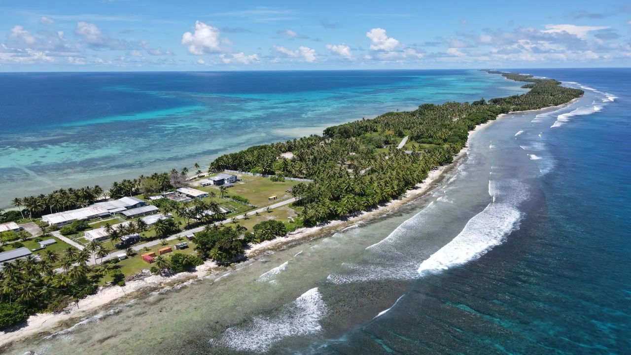
Nolo remains a powerful hurricane far from the main islands. In the Central Pacific Hurricane Center's full advisory issued at 11 p.m. HST Sunday, forecasters said Nolo could reach Category 5 strength on Monday before a gradual weakening trend began late Monday, with a turn toward the northwest and then north keeping its center well south and southwest of the main islands. By 5 a.m. HST Monday, Nolo had maximum sustained winds of 155 mph, was about 410 miles southwest of Honolulu and 535 miles south-southeast of French Frigate Shoals, and was moving west-northwest at 12 mph, Hawaii News Now reported. The earlier hurricane watch for the Papahānaumokuākea Marine National Monument was upgraded to a hurricane warning from Nihoa to French Frigate Shoals, where forecasters said tropical storm conditions were possible by Tuesday and hurricane conditions by Wednesday. Large waves are likely to inundate some low-lying atolls in the monument, which is home to endangered Hawaiian monk seals and threatened green sea turtles.
Closer to home, swells from Nolo are expected to produce life-threatening surf and rip currents along south-facing shores of the main islands for the next few days. Forecasters also expect trailing moisture to bring less than an inch of rain to Kauaʻi from late Tuesday into Wednesday.
Nolo's position and strength will continue to change as it moves toward the monument, and the hurricane center issues full advisories at 5 a.m., 11 a.m., 5 p.m. and 11 p.m. HST. Residents should rely on Hawaiʻi County Civil Defense and the National Weather Service in Honolulu rather than social media. Nolo's greatest danger to the Big Island has passed, but the cleanup and the landslide risk on soaked slopes will outlast the storm.
What Readers Want to Know
Did Hurricane Nolo make landfall on the Big Island?
No. The storm's center stayed south of Hawaiʻi Island, about 145 miles from South Point at one stage, but its outer rain bands lingered long enough to cause flooding, road closures, and power outages.
How much rain fell on the Big Island?
The Weather Channel reported more than 14 inches at the island's highest elevations. Mayor Kimo Alameda said Kaʻū was seeing about 6 to 8 inches by Saturday evening. Official storm-total summaries from the National Weather Service may revise these figures.
Which Big Island areas are under water restrictions?
The Department of Water Supply asked customers in the Lālāmilo, Mauna Lani, Maunakea, Hāpuna and Kawaihae service areas, and on the Waiʻōhinu-Nāʻālehu system, to use water only for essential needs until further notice.
Is Route 11 open?
Māmalahoa Highway reopened to all traffic from Hilo to South Kona on Sunday, but drivers were told to use caution while crews cleared debris from the shoulders. Kohala Mountain Road remained closed Sunday because of high winds.
How can residents report storm damage?
Hawaiʻi County is collecting residential, commercial, and unmet-needs reports through forms linked from its Hazard Impact Map. Residents should photograph damage before cleaning up and contact their insurer.
Is Hurricane Nolo still a threat to Hawaii?
The main islands are out of the storm's rain path, though dangerous surf and rip currents are expected for several days. A hurricane warning covers the Papahānaumokuākea Marine National Monument from Nihoa to French Frigate Shoals, where large waves are likely to wash over low-lying atolls.
Where can residents find official updates?
The Central Pacific Hurricane Center issues full advisories at 5 a.m., 11 a.m., 5 p.m., and 11 p.m. HST, and the National Weather Service office in Honolulu issues local alerts.
© 2026 NatureWorldNews.com All rights reserved. Do not reproduce without permission.
















 English (US) ·
  French (CA) ·